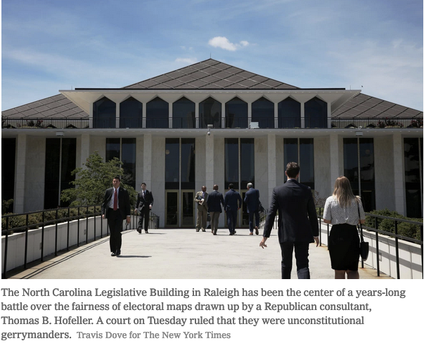
At the heart of a decisive court ruling on Tuesday striking down North Carolina’s state legislative maps was evidence culled from the computer backups of the man who drew them: Thomas B. Hofeller, the Republican strategist and master of gerrymandering, who died last year.
Documents from the backups, which surfaced after his death, were also central to the legal battle over adding a citizenship question to the 2020 census. An enormous stash of digital files, covering Mr. Hofeller’s work in almost every state, has yet to be examined.
But in a state court in Raleigh, N.C., another courtroom battle is underway. Its aim is to ensure that those files are never publicly scrutinized.
Republican political figures filed a flurry of motions on Friday in the same court that issued the gerrymandering decision, all seeking to seal or destroy the 75,000-plus files that contain more than 100,000 documents and thousands of maps. Among them were a South Carolina lawyer, Dalton L. Oldham, who was a partner with Mr. Hofeller in a consultancy, Geographic Strategies L.L.C., that advised the Republican Party and party leaders nationwide on redistricting.


